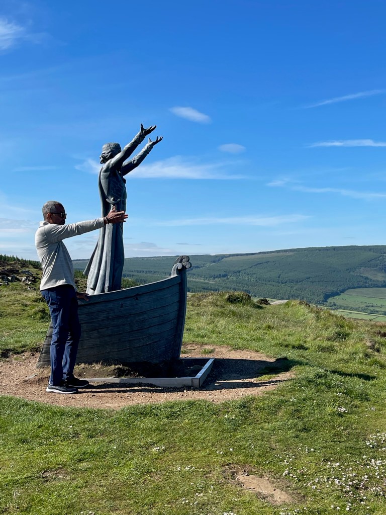
Wow, and I mean wow. Spending time traversing Ireland’s incredible coastline was definitely one of the highlights of this trip. We started out with two day long trips, with our driver/guide Aiden at the helm. Aiden took us to some of his favorite spots around the Inishowen Peninsula and on the Eastern coast and provided a lot of great background and insights along the way. It was a wonderful way to get out and explore the northern sections of this incredible coast.
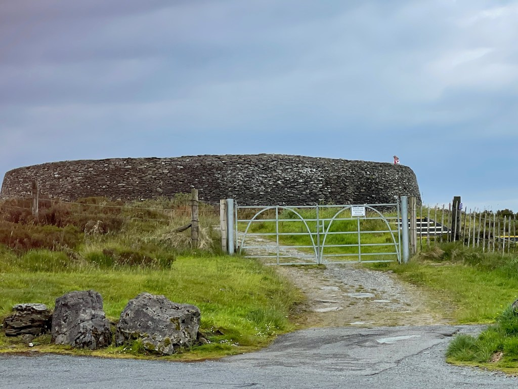
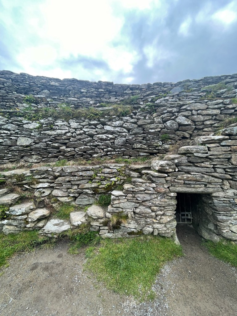
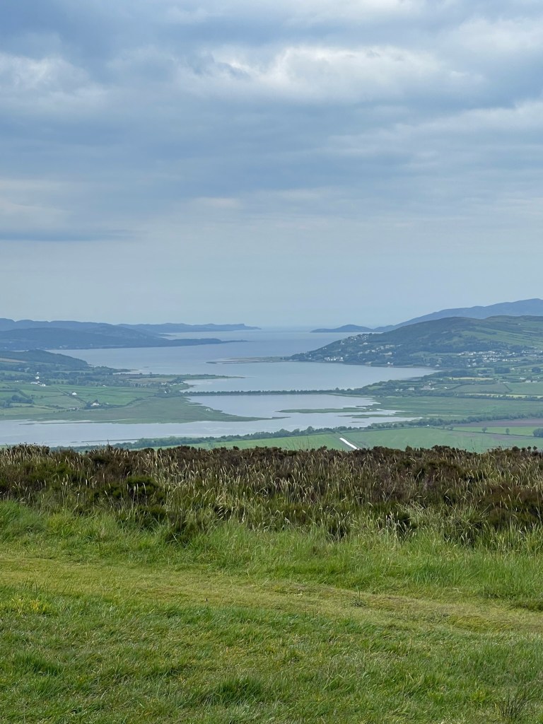
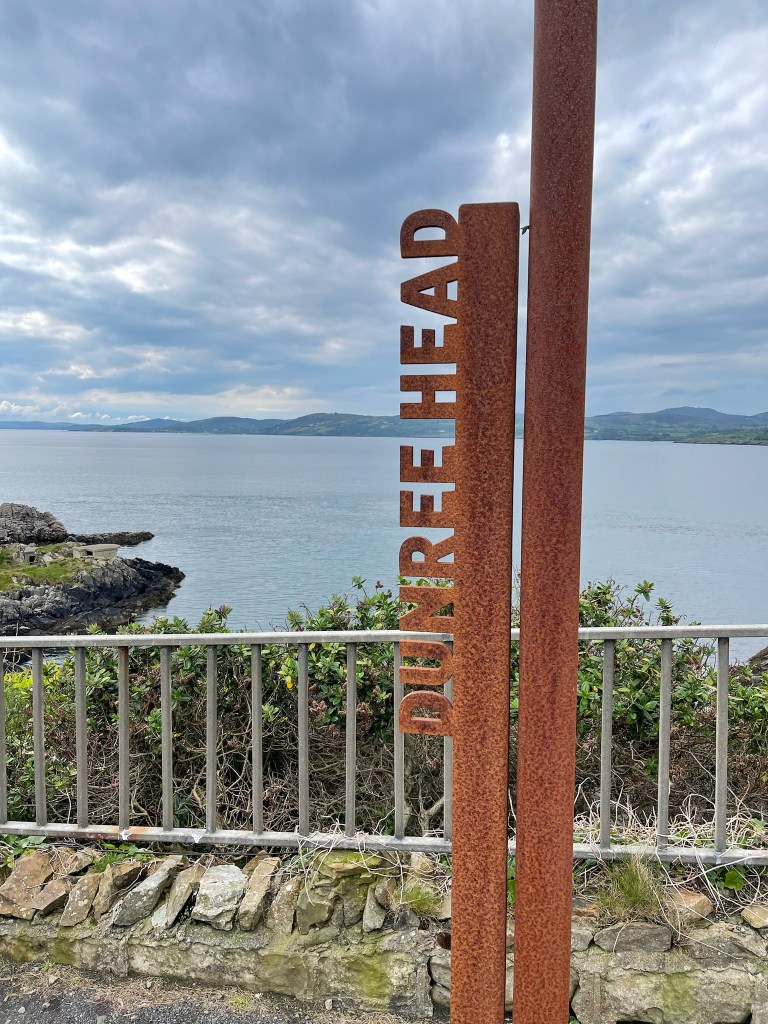
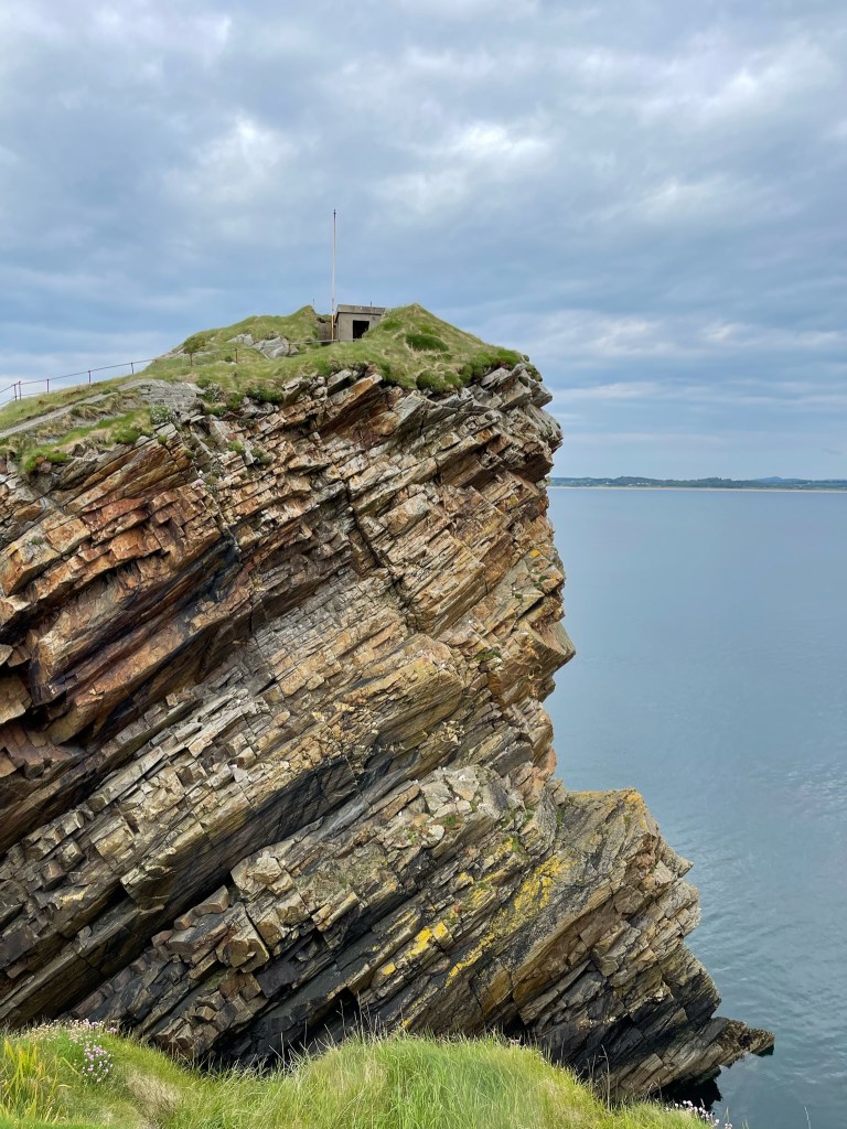
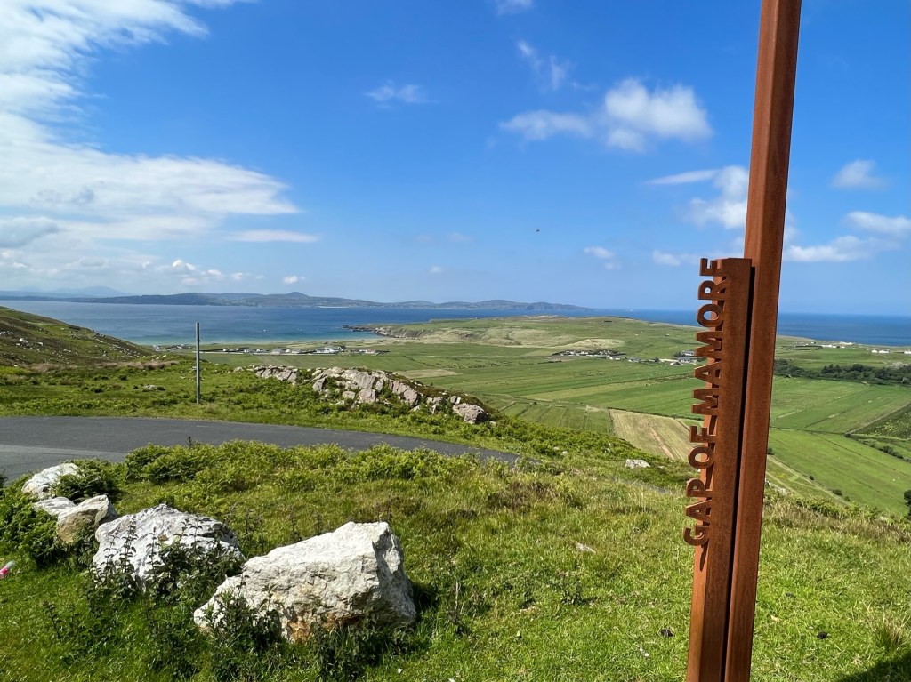
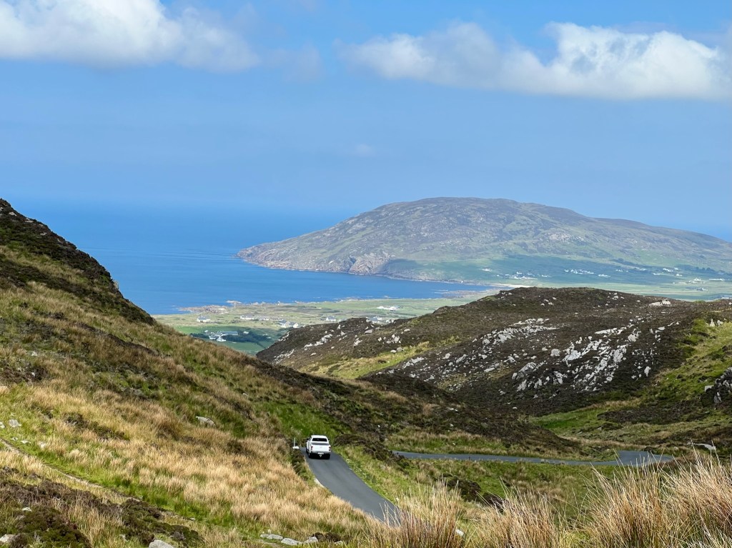
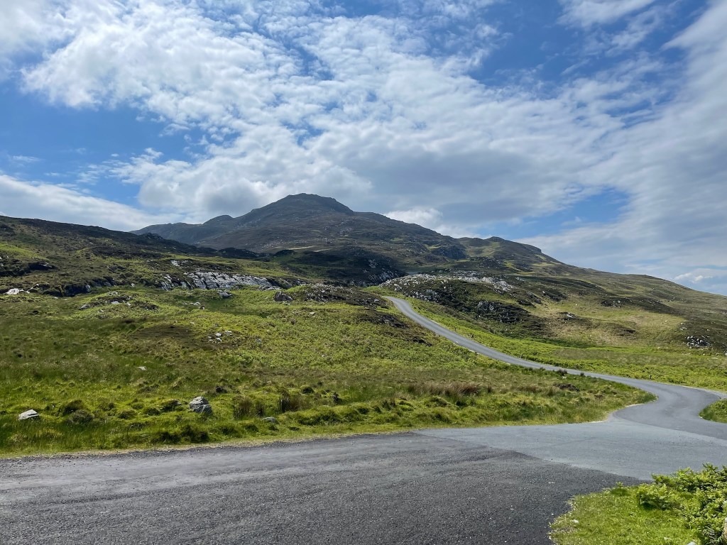
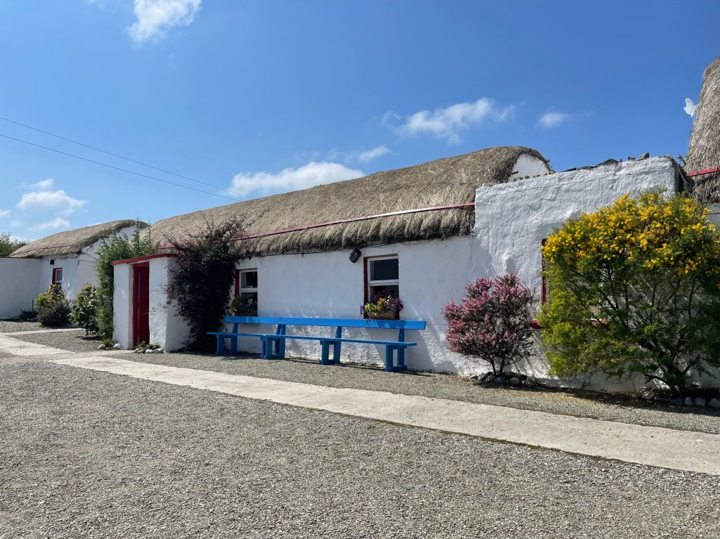
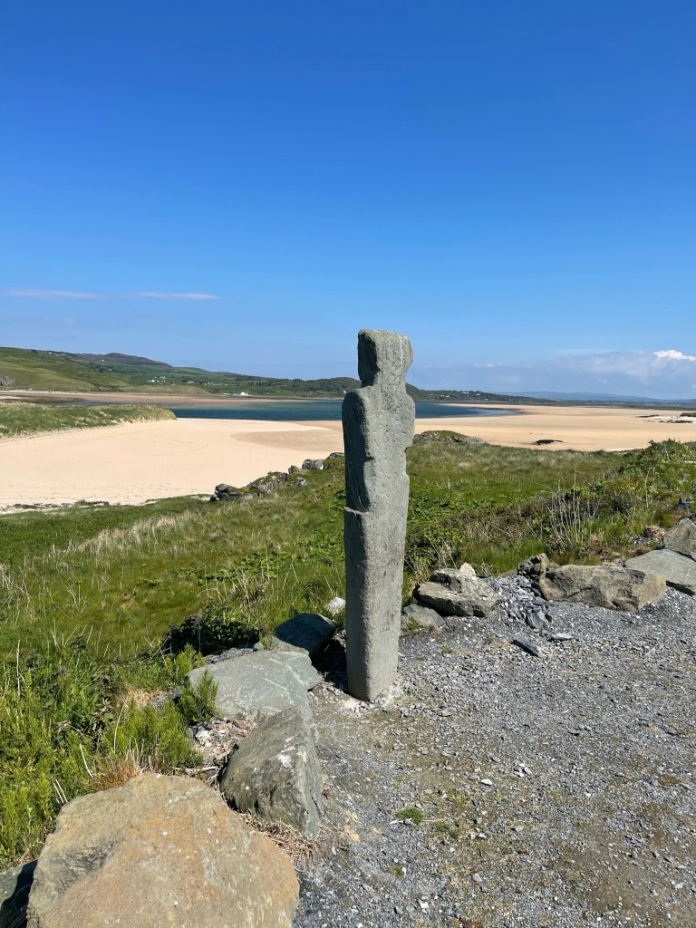
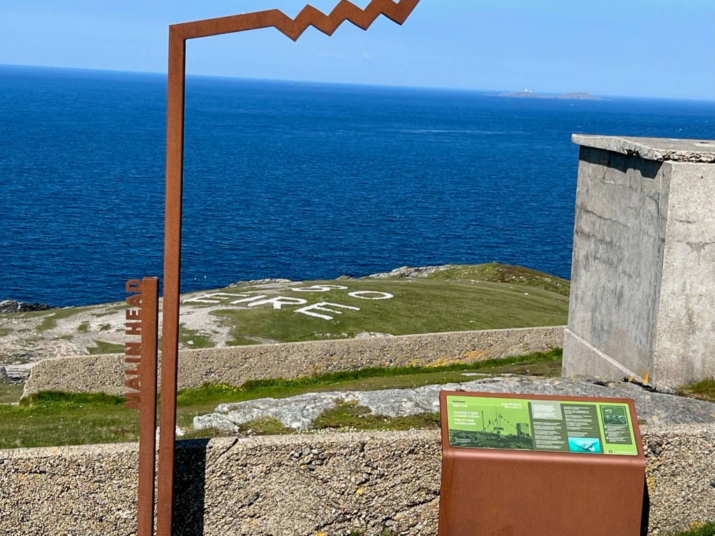
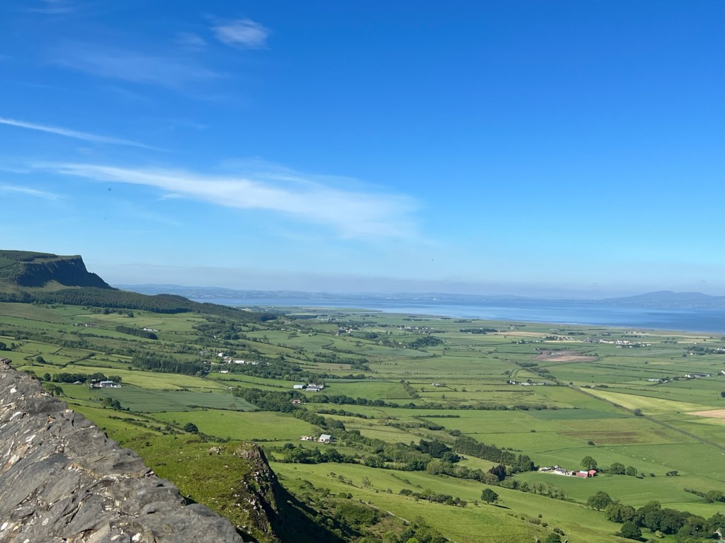
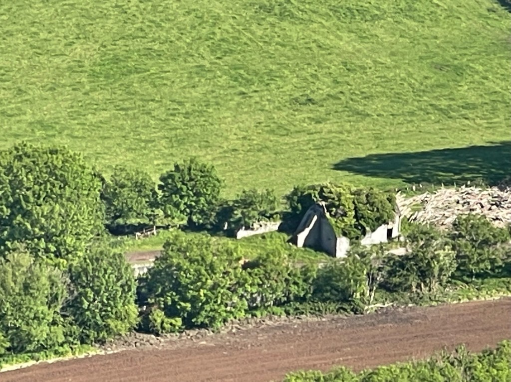
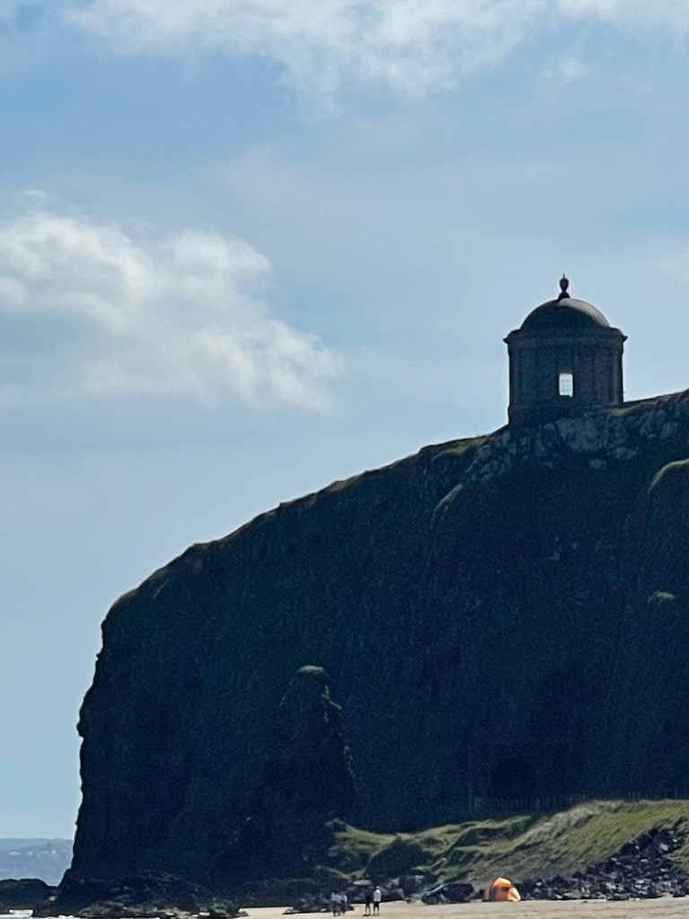
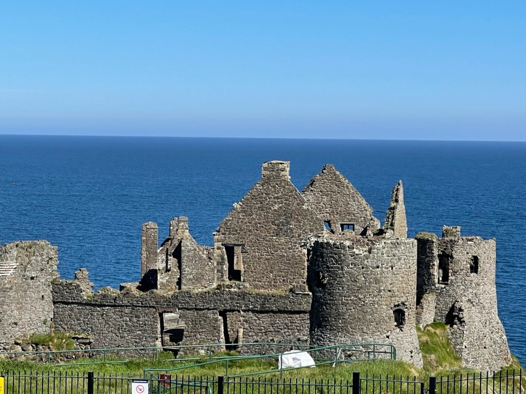
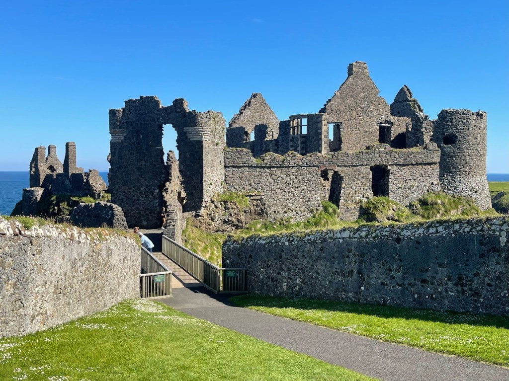
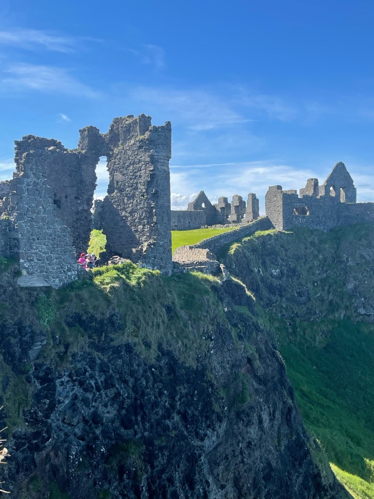
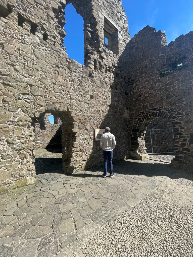
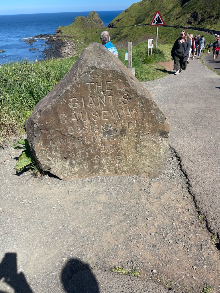
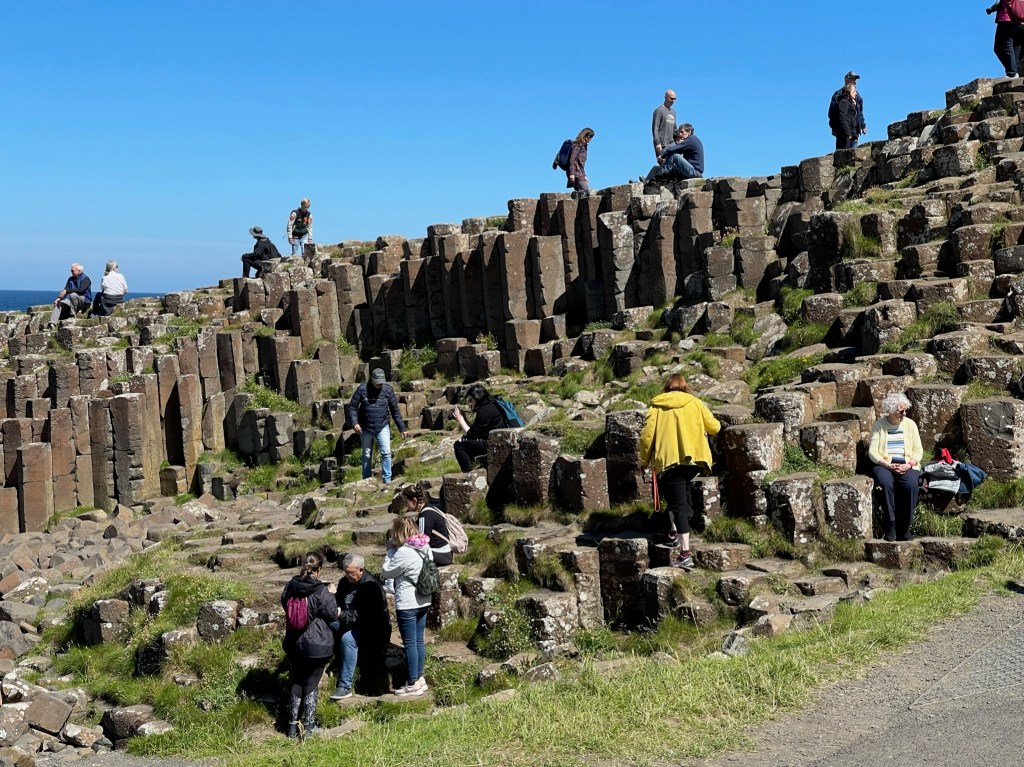
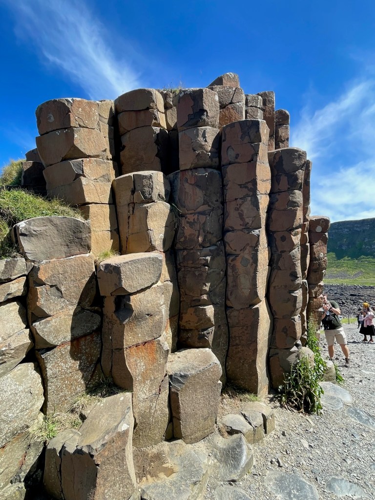
We started out by taking in the views from the hilltop where this circular stone fort, the Grianan in Inishowen, sits. Called “ringforts” we came across many examples across the Irish country-side, and most originate from the 6th or 7th Centuries. Lots of stone inspiration for our new landscape design! Turn around from the fort and this is the view of the inlet leading out to the Atlantic Ocean. Stunning. Our next stop was Dunree Head, which is reached following a drive along a twisting clifftop along the side of the Urris Hills. We were glad NOT to be in the driver’s seat! Along with the great coastal views, this is the site of Fort Dunree and a small but really nicely done Military Museum. Fort Dunree was built in 1812 during the Napoleonic Wars. We then took a spectacular drive over the windy and rock Gap of Mamore, or “Magic Road” (will explain in a few more pics). Along many of the twisty windy roads, you’ll find these small little shrines set up with lots of mementos people leave behind. One of Gary’s favorite moments was driving over this natural phenomena where this car is sitting. Called “Gravity Hill” you can experience an optical illusion. A slight downward slope appears to be sloping upward…cars left in neutral will appear to roll uphill.Here’s our driver demonstrating in this video! Just such a remote and beautiful drive! A typical cottage…most have been turned into summer rentals or short stays. Glenevin Waterfall. Our next stop was a museum devoted to exploring life for the families that lived off this land up until about 1950 as well as during the famine in the mid-1800’s. One of the highlights of this tour was the guide, who lived in one of these small cottages with his family growing up in the 1930’s – 50’s. Just hearing about the frugality and struggle of living (literally) off the land (where a diet consisted of oat porridge, potatoes, barnacles that were shelled with the meat boiled into a milk, some preserved, salted, fish; sloak – an algae picked from the rocks, and in the summertime some fresh vegetables and rabbit meat) was sobering. Multiple generations of families crammed into these tiny cottages. There was a lot of information about the actual potato famine between 1845 – 1849 where 1 million people died of starvation and the population fell by 20-25% due to both death and immigration. The museum sat on this beautiful inlet, that during hi-tide covers the sand! It may have been rough living, but the setting was idyllic. We then stopped in Malin Head, the most northerly point of mainland Ireland. Here sits a watch tower built by the British to guard against France during the Napoleonic Wars. It was also used as a lookout during both world wars, even though Ireland remained neutral. The white writing on the edge existed to let planes flying overhead know this was Ireland, not Britain, so please don’t drop any bombs here!Day 2 we headed off towards the East, landing in Dublin at the end of the day, a long journey! We took in the view from Gortmore here while driving through Bishop’s Road (the route the Earl Bishop of Derry took when traveling from Derry to his home in Downhill). At the top of the pass is a monument to commemorate the spot where two local ploughmen stumbled across the “Brighton Gold Hoard”, offerings that were mostly like left here to the Celtic God Manannan Mac Lir during the Iron Age of the 1st C. B.C. One of these pieces included a tiny gold boat. These treasures landed in the British Museum but after a long court battle were finally moved to the National Museum of Ireland in Dublin. Down below sits a “famine cottage”. These structures exist all over Ireland, they are the cottages that were inhabited by the Irish during the famine. Most are long deserted, decaying and overgrown. We asked why they are not torn down, and basically if a structure exists on a piece of land now and you decide you want to build there, you do NOT need to go through a 1-2 year permitting process to build (as long as you keep one wall intact). So landowners have held on to these to spare themselves the time and cost in case they do want to build another home on the land. There are many people who have lived on these lands for generations who HOPE that at one point some of the younger generation will return to live. Passing through Castlerock, a lovely seaside village. This is the Mussenden Temple, an estate library built in 1785. We spent a fair amount of time exploring Dunluce Castle, a medieval structure that sits at the edge of a basalt outcropping (surrounded by extreme drops on all sides!). Here’s a few of my favorite pics. I am married to a man who reads EVERY sign. Something I still need to adjust to, as I tend to “graze” and get through places much faster than him. Next stop, the “piece de resistance” of these two days, the Giant’s Causeway. We took the hike down to this area that is comprised of about 40,000 interlocking basalt columns, the result of an ancient volcanic fissure eruption. A World Heritage Site (as it should be, it’s amazing), I was a little shocked to see no barriers and people just climbing all over the stones. Most of these columns are hexagonal (how did they form that way?!) and the tallest are about 39 feet. The legend is that the columns are remains of a causeway built by a giant who was challenged to a fight by a giant across the water in Scotland. He accepted the challenge and built the causeway across the North Channel so that they could meet. In one version, he decides to hide from his foe when he learns that he is much bigger. His wife disguises him as a “baby” and tucks him in a cradle, so that when the Scottish giant arrives she can say that the baby’s father is MUCH larger and when he returns you will be defeated. The Scottish giant flees. I think this would have made a great filming location for Game of Thrones, can’t you just see the Dragons landing here? It looks so surreal and otherworldly. Our final stop was a lovely hike in Ballycastle along the beautiful white sand coastline. A LOVELY spot for sea kayaking! The suspension bridge at the end of the trail. We did not partake as there was a line with about an hours wait. And I hate heights!
All in all, we were BLOWN AWAY by our first leg of sightseeing along the Wild Atlantic Way of Ireland, and were not disappointed as we headed south and west (we’ll highlight in later blogs). Make this a definite item on your bucket list!


Leave a comment